fbpx
Trails

Santa Inez to Santa Carina Loop Trail

  • TRAIL STATUS: Open (except to La Orilla Trail connector)
  • DIFFICULTY: Easy

  • DISTANCE (ROUND-TRIP): 1.3 miles

  • TIME: 30 minutes

  • HOURS: Sunrise to sunset

  • RESTROOMS: No

  • PETS/ANIMALS: Horses + leashed dogs welcome

  • BICYCLES: No
  • ENTRANCE: Santa Inez Trailhead   See map

  • CLOSEST PUBLIC TRANSIT: Solana Beach Transit  See map

  • PARKING: Street parking. Please remember that you are parking in a neighborhood, so keep all driveways clear and be respectful of neighbors. Please utilize waste and recycling containers at the trailhead.

  • TERRAIN: Some steep parts. Note a sandy patch and incline (erosion-control stairs).

For hikers seeking a peaceful getaway, this trail is ideal.

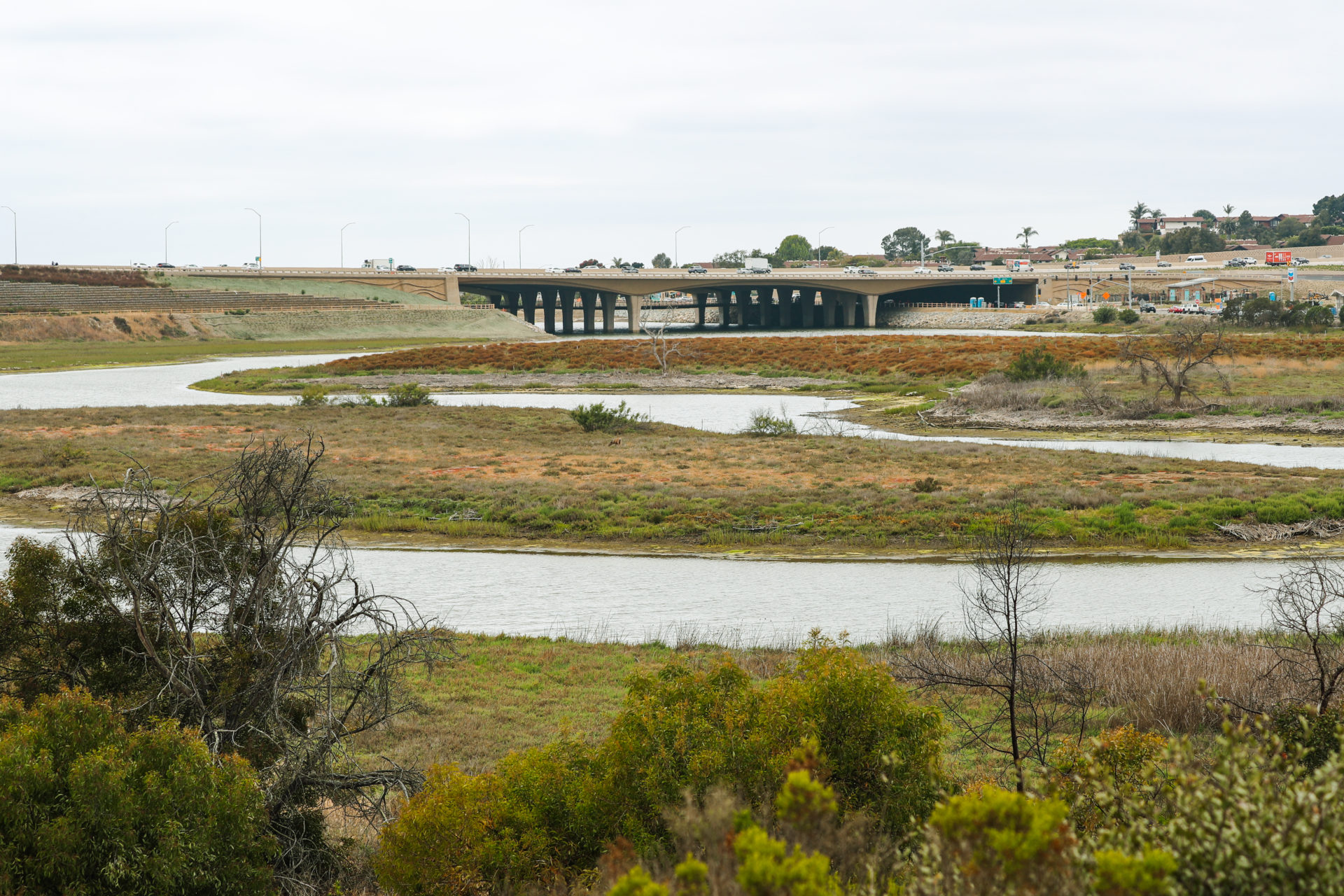
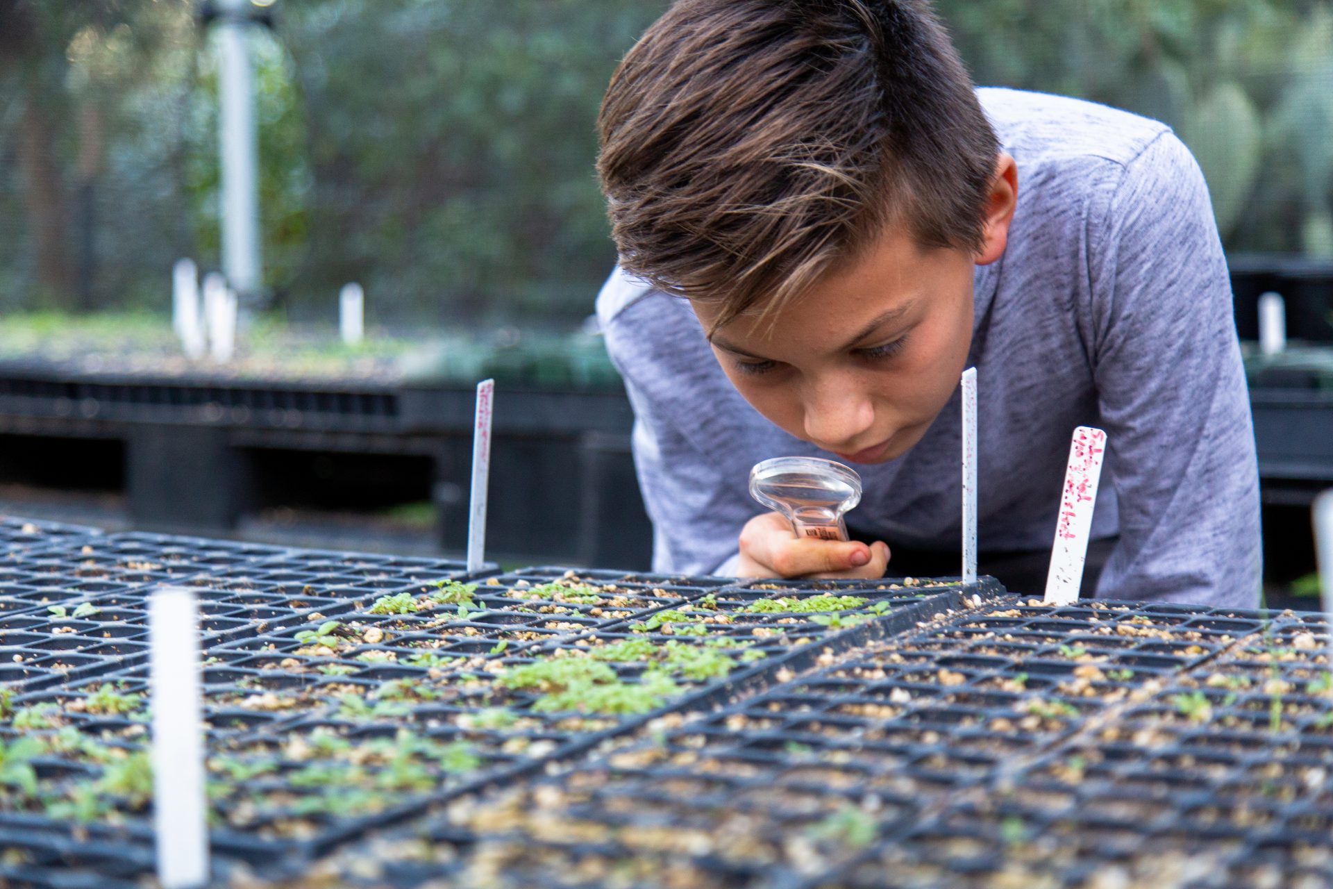
You hike to the Santa Carina Overlook (aka Tern Point Overlook), which provides a fantastic view of the East Basin. You can also connect to our trails in the Central Basin by going underneath Interstate 5 and using the suspension bridge. Our Native Plant Nursery is situated on Santa Inez, where you may find a school group planting native seeds.

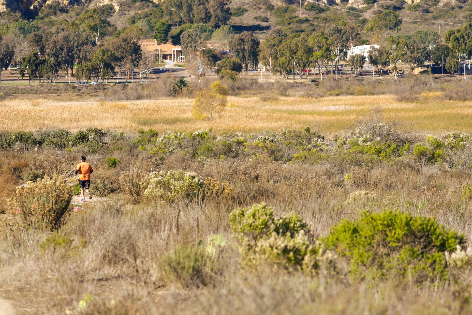
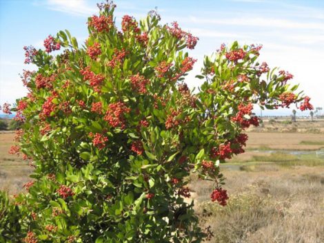
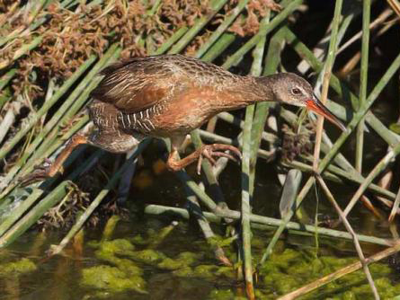
Traversing this quiet stretch of the San Elijo trails, you can spot peaceful wildlife – and even abundant wildflowers in the springtime.

Keep an eye out for:

No. 1

An impressive overlook

(called both Santa Carina + Tern).

No. 2

Our Native Plant Nursery

which you can pass by. You can also request a tour or volunteer there. Learn More

Runner along sage scrub habitat in San DiegoRunner along sage scrub habitat in San Diego
No. 3

Exciting restoration work

by Nature Collective – note the cones + flags as you hike. We are currently restoring coastal sage scrub habitat that is home to the federally endangered California Gnatcatcher.

What to Expect

  1. Turn right at the trailhead, walk down rustic, erosion-preventing stairs, and then continue on the trail.
  2. You will come to turnout, take the short out and back path straight ahead to get a closer look low salt marsh habitat of California cordgrass before continuing on the main trail. For those on horseback, you will find a spot to tie up your horse as well as room to turn around.
  3. Soon there’s a bench. Enjoy the idyllic spot for listening to birds – and taking a breather. As you continue along the trail, the terrain changes from packed dirt to loose, beach-like sand.
  4. Next, you encounter an incline – including erosion-preventing stairs. This takes you to a fork in the road.
  1. Keep right and view the current restoration work taking place along the trails.
  2. Follow the loop until you reach a lookout point with two benches. Drink in magnificent views of the lagoon.
  3. Continue on, and turn right at the fork. This takes you back to the trailhead.
  4. Once you reach the gravel path by the trailhead, head right to see the nursery filled with native plants of the area.

On your hike, you might see . . .

Large green bush with red berries

Toyon

In the 1920s, the extensive harvest of toyon for Christmas decorations so threatened the populations that a state law was passed prohibiting the removal of any part of the plant from public lands.

More Info

Ridgway’s Rail

This federally endangered and secretive species has a loud, clapping call, and it’s been spotted more frequently in the San Elijo Lagoon Ecological Reserve over the last few years.

More Info

More to Explore

Harbaugh Seaside Trails

Harbaugh Seaside Trails

Visit our newest open space with expansive marine views – ideal for dog walking, sunset watching, and peaceful contemplation in nature.

Learn More
Nature Center

Nature Center

Begin Your Visit to the County LEED-certified Nature Center.

Learn More
N. Rios (East) Trail

N. Rios (East) Trail

At the intersection of ecology, San Diego, and birdwatching . . .

Learn More